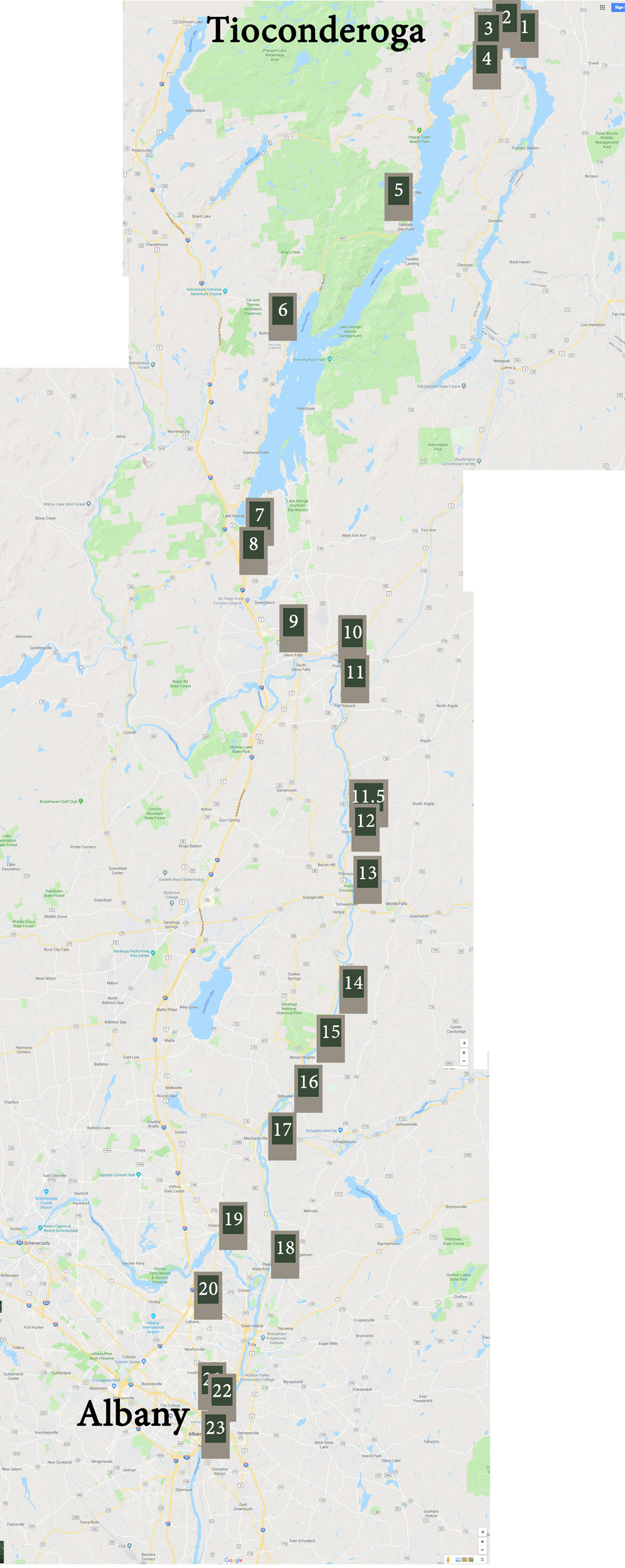
Starting at 8:30 am, I touched down at Markers No 6 through 23 on Tuesday, all in the state of New York. At 5:15 pm, I crashed at the Colonial Inn on Route 20 between Markers 23 and 24. Hungry for vegetables, I happily followed the inn proprietor’s suggestion to eat at the sushi place across the street.

According to the Hudson Valley Organization’s guide to the Henry Knox Trail, this is the route I followed:
Leaving Sabbath Day Point, where, in the words of my 5x-great-grandfather Henry Knox, they rescued the scow that had “run on a sunken rock, but not in such a manner as to be irretrievable that they had broken all the ropes which they had in endeavoring to move her off”, the Train of Artillery pushed on south. (I mistakenly wrote in previous posts that they were traveling on frozen-over rivers in sleds. They were not. They traveled down Lake George in boats. The sled part is when they ford the Mohawk and Hudson Rivers later. I will correct my previous blog.)

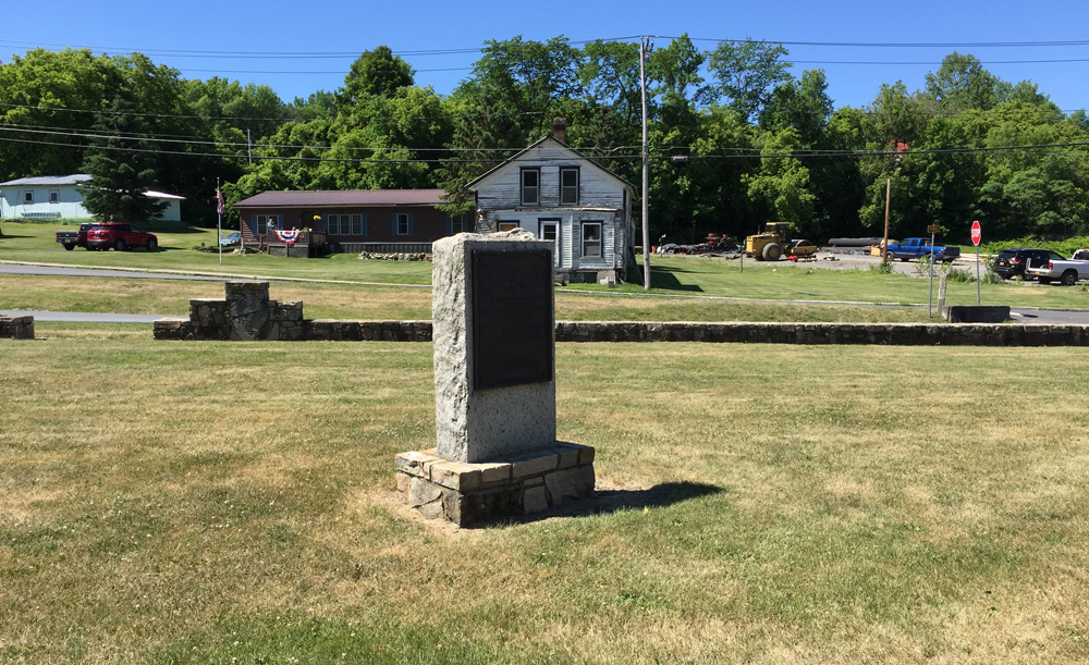
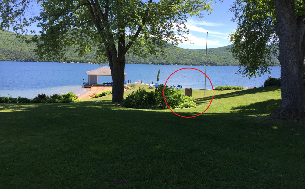
Marker 7 of the Henry Knox Trail in Roger’s Memorial Park overlooking Lake George in Bolton Landing, New York
In his journal on December 10, 1775, Knox wrote, “…the crew of the Battoe [batteau], after having refresh’d themselves, told me as they were not very deeply loaded that they intend’d to push for Fort George [at the south end of lake]. Accordingly I jump’d into the Boat & ordered my man to bring my baggage & we would go with them — accordingly we set out it being eleven O’clock with a slight breeze ahead the men rowed briskly, but we had not been out above an hour when the wind sprang up very fresh & directly against us – the men after rowing exceedingly hard for about four hours seem’d desirous of going ashore to make a fire to warm themselves & knowing them to be very exceedingly weary.” (Marker No. 6 – Bolton Landing) “… we warmed ourselves sufficiently and took a comfortable nap – laying with our backs to the fire …”

Marker 7 of the Henry Knox Trail in Roger’s Memorial Park, Bolton Landing, New York. All the markers in New York look like this but aren’t as well maintained.
The next morning, they started again, “… about half an hour before day break that is about a quarter after rising we set out and in six hours & a quarter of excessive hard pushing against a fresh breeze, we reached Fort George.” (Marker No. 7)

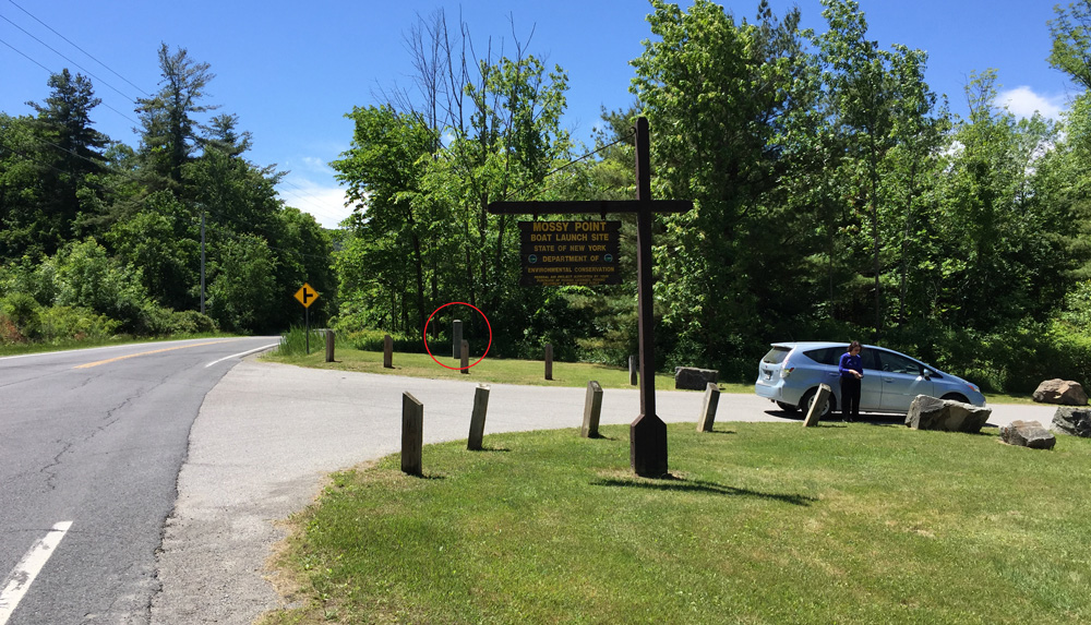
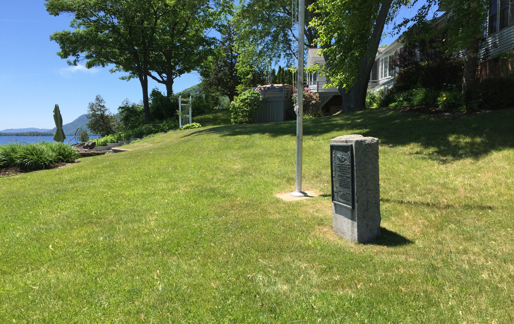
Marker 7 of the Henry Knox Trail, south end of Lake George looking north, New York
There is a gap in Knox’s journal between December 18 and 23. This is what historians think happened:
Knox and his men had to search for sleds to drag the cannon south from Lake George to the Hudson. They also had to wait for sufficient snow to make the roads passable for those sleds. The Train of Artillery would eventually follow the route from Lake George to Fort Miler shown by Markers 8 through 11. It follows the Hudson River along today’s Routes 4 and 9. They passed the intersection of Bloody Pond Road (Marker No. 8),

Marker 8 of the Henry Knox Trail at the crossing of Bloody Pond Road and Route 9 south of Lake George
and through Glens Falls (Marker No. 9),

Marker No. 9 of the Henry Knox Trail at the southeast corner of Crandall Park, Glens Falls, NY
Hudson Falls (Marker No. 10),

Marker No. 10 of the Henry Knox Trail in front of the Public Library in Hudson Falls, New York
and Fort Edward (Marker No. 11).

Marker No. 11 of the Henry Knox Trail in front of the high school in Fort Edwards, New York
On December 24, Knox forged ahead of the group on foot, scouting good roads and places to ford the rivers. He stopped at Fort Miller (Marker No. 11.5), “where Judge Dewer procured me a sleigh to go to Stillwater.”

Marker No. 11.5 of the Henry Knox Trail marking where Knox visited Fort Miller along the Hudson
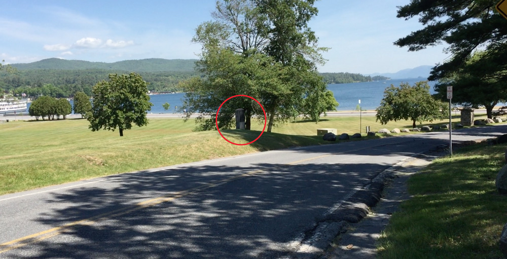
Knox crossed the river by ferry to the west side (Marker No. 12) near the hill (knob) General John Stark of New Hampshire would later defend and prevent the British from “retreating north.”

Place where General John Stark of New Hampshire held the British.
A small park was created in 2000 where Monument No. 12 now stands, hidden in the brush. A modern statue of one of Henry’s ox carts keeps it company.

Marker No. 12 of the Henry Knox Trail at Stark’s Knob, named after the hill Stark defended during the Revolutionary War.

Modern-day statue of one of the teams of oxen pulling cannon with the Trail of Artillery, Stark Knob, New York
and arrived at Schuylerville (Marker No. 13), which he called Saratoga. [I can’t remember which of my photos this is, sorry.]
“… we dined and set off about three OClock, it still snowing exceeding fast … after the utmost efforts [of the] horses we reach’d Ensign’s tavern 8 miles beyond Saratoga [was Marker 14, now missing)” where, “we lodg’d.”

Position where Marker No. 14 of the Henry Knox Trail once stood marking the location of Ensign’s Tavern where Knox stopped and dined. It is just north of Saratoga Historic Park. The marker is missing.
Marker No. 15 in Bemis Heights shows the location of the house where Knox stayed on Christmas Eve.

Marker No. 15 of the Henry Knox Trail near Bemis Heights, New York.
On Christmas morning, Knox woke to find two feet of new snow on the ground. He forged on to Stillwater (Marker 16),

Marker No. 16 of the Henry Knox Trail in front of the Public Library in Stillwater, New York. Note the Hudson River behind the library.
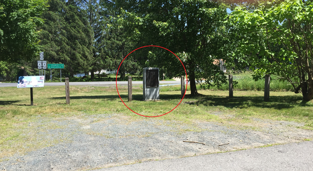
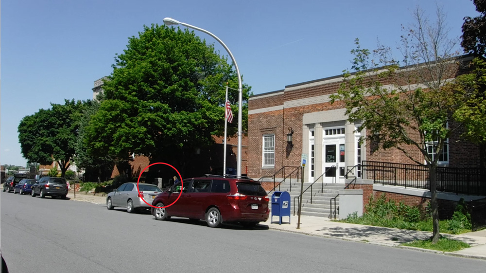
where he obtained another sleigh that would take him to Albany. He passed through today’s Mechanicsville (Marker No. 17).

Marker No. 17 of the Henry Knox trail next to the Post Office in Mechanicsville, New York
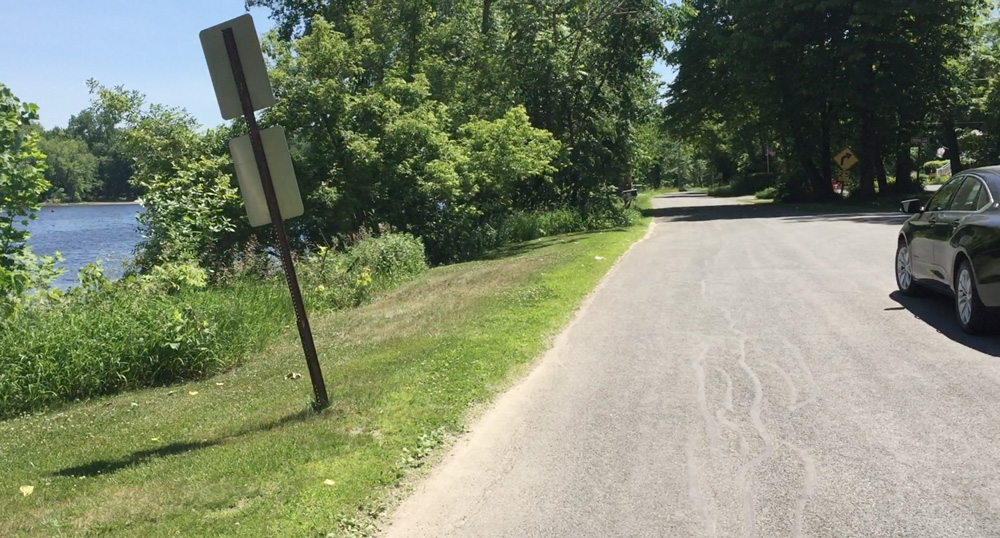
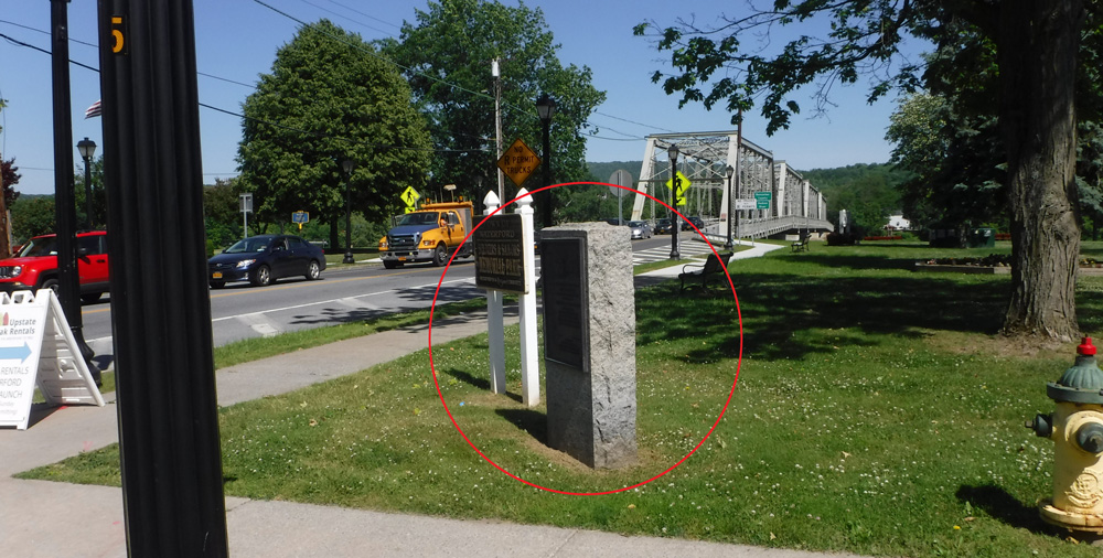
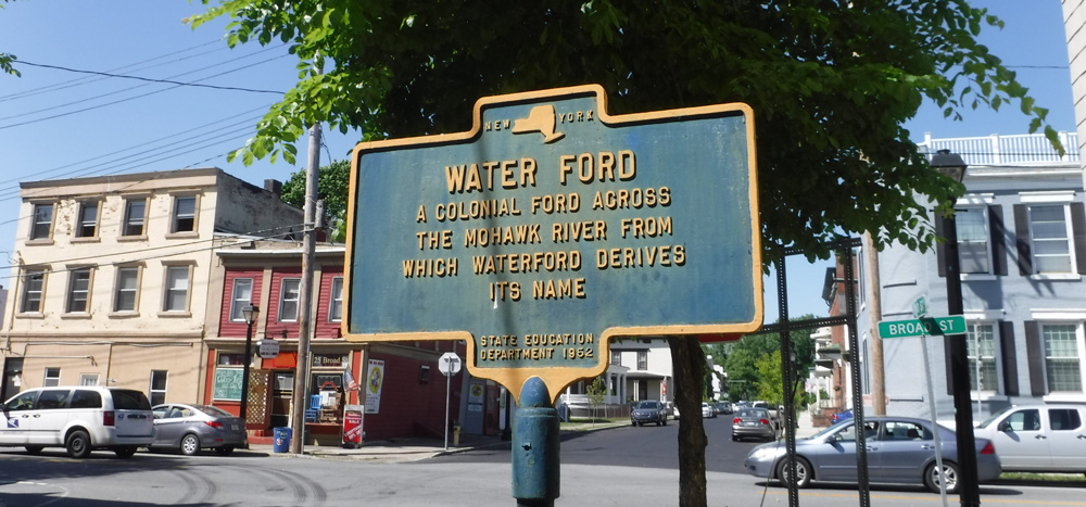
At Waterford (Marker No. 18) he forded took a ferry across the Hudson to the east side.

Marker No. 18 of the Henry Knox Trail by the bridge crossing the Hudson, Waterford, New York

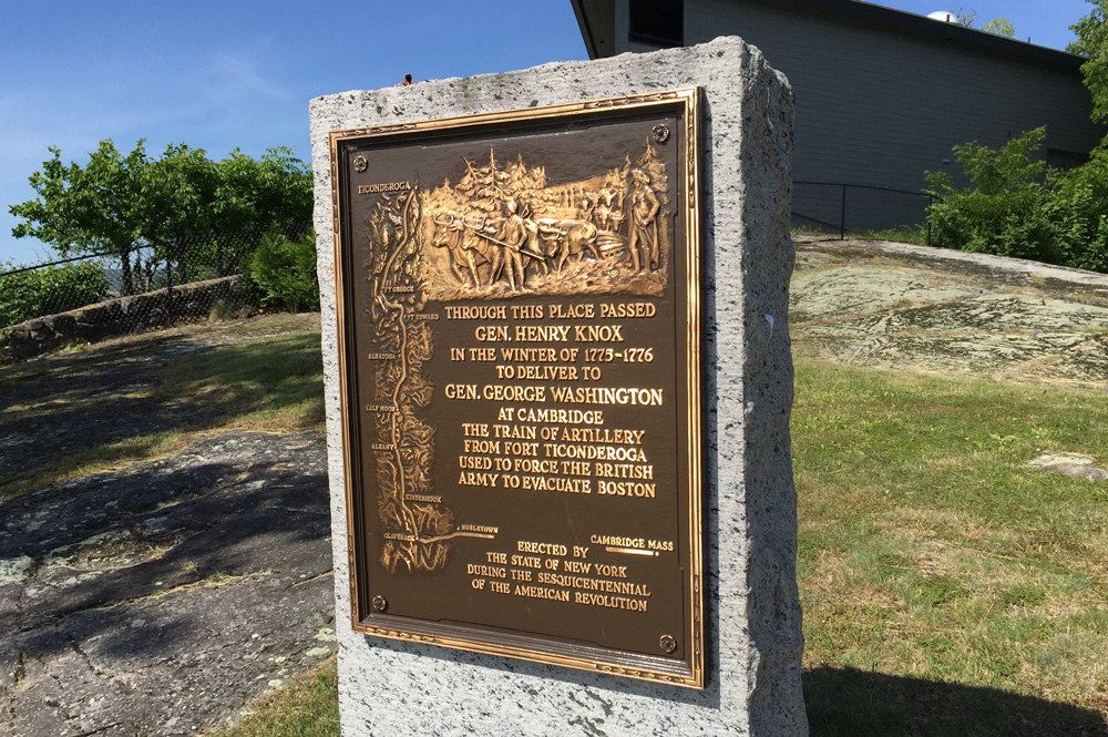
Plaque in Waterford, New York
He wrote, “…the roads not being broken prevented our getting farther than New City [today’s Lansingburg], about 9 miles above Albany — where we lodg’d.” Henry may have crossed the Hudson via the Lansing’s ferry.
Albany is on the west side of the river. But the Train of Artillery had to deal with the confluence of the mighty Mohawk River and the Hudson River, a complicated and busy geographic roadblock. Knox first tried the “usual crossing” at Half Moon near Cohoes. The ice was too thin and he lost a sled and cannon. So he ordered the rest to cross “At Sloss’s [Claus’s/Klaus’s Ferry] as the ice was so much stronger …” Marker No. 19 in Crescent stands by Route 9 south of the Mohawk River.

Marker No. 19 of the Henry Knox Trail along Route 9 south of Crescent, New York
On January 5, after crossing the Mohawk at Claus’s Ferry, the Train of Artillery headed south along today’s Loudon Road (Route 9) toward Albany (Marker No. 20 in Latham).

Marker No. 20 of the Henry Knox Trail in front of the Masonic Temple on Loudon Road, Latham, New York
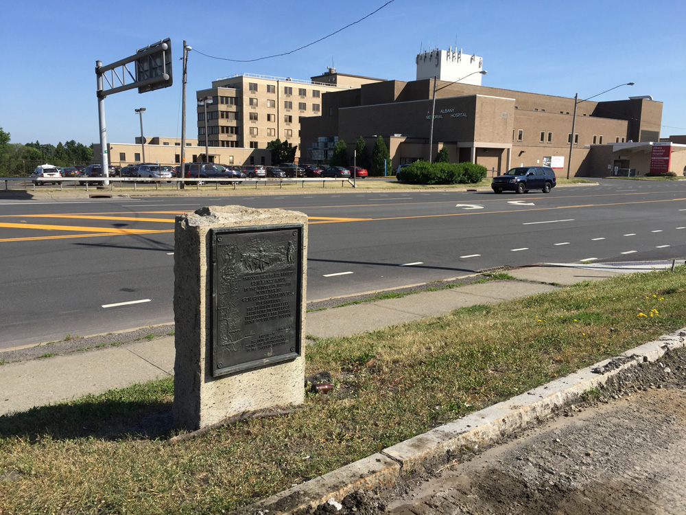
Marker No. 21 locates where the road turned into Albany. Today that “turn” is a major freeway intersection.

Marker No. 21 of the Henry Knox Trail across from the Albany Hospital, New York
Marker No. 22 is now missing, It used to mark the place where the train forded the Hudson at Albany, placing the group on the west side on their way to Massachusetts.

Memorial Bridge crossing the Hudson River from Albany to Rensselaer, New York
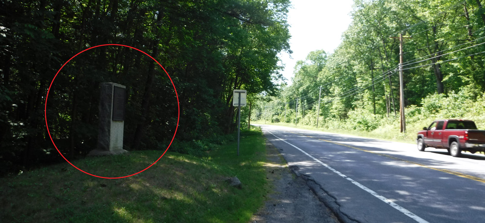
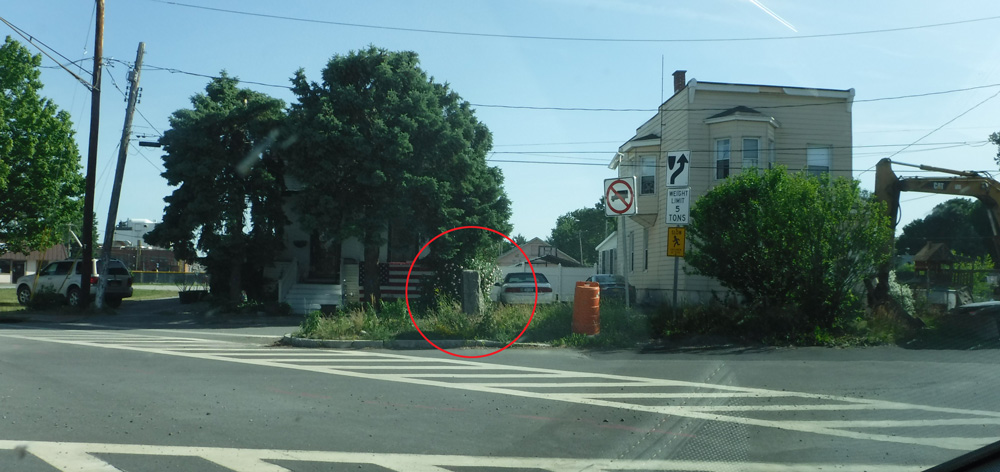
From the exit off the bridge in Rensselaer, the trail follows today’s Route 20, where I passed by Marker No. 23. It is surrounded by weeds. I bet few people who pass it know why it stands there.

Marker No. 23 of the Henry Knox Trail, Route 20, Rensselaer, New York
From here I travel southwestward toward Boston.