
Back to having fun. Near Santa Fe, New Mexico, I came to Pecos National Historic Site, where stands the foundations of a pueblo and a Spanish church built in 1690. Underneath those structures, and in surrounding excavations, archaeologists have unearthed evidence of people living in this key geographic area for over 9000 years — hence the site’s preservation by the National Parks and why Santa Fe grew up near by.
With my brain packed with the area’s history, I drove on to the charming Santa Fe itself. I’ve been there before, but it’s amazing how different the experience is driving to a place knowing its historical and geographical significance versus arriving by train or plane.
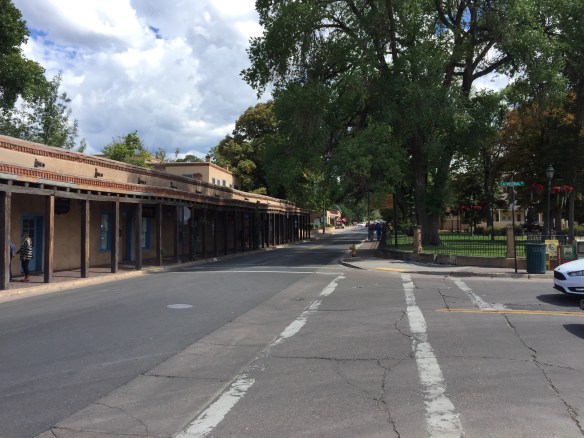


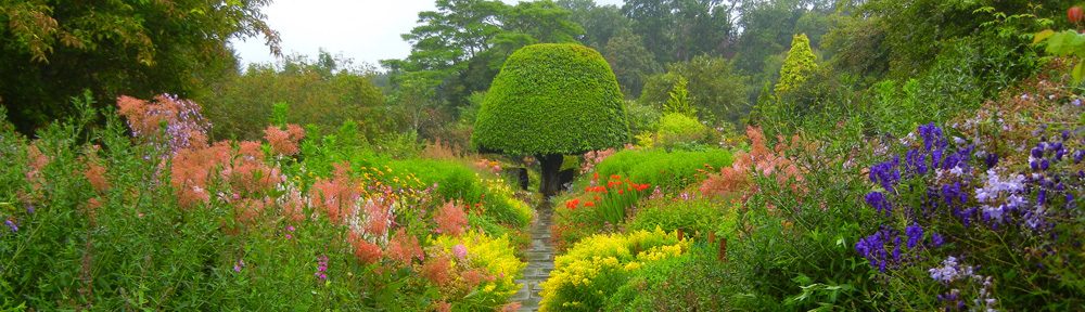
I walked around the plaza looking for a coffee shop (my jewelry box is already stuffed with silver jewelry, so shopping was of no interest) and settled for a cookies and cream ice cream cone. Annie was allowed in the shop. She’s great at meeting people for me. While slurping, I chatted with the couple sitting next to me. They were also from the San Francisco Bay Area.
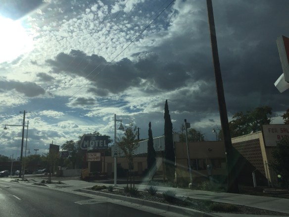
There was still enough time to head south again to Albuquerque to see the Petroglyph National Monument. The Visitor Center is in the center of the park, but not within walking distance of the petroglyphs. Since it was still too hot to leave Annie in the car, I decided to check into the nearby High Desert RV Park and tour the old Route 66. I would return to the trails when it cooled. Then some dark clouds arrived and suddenly it was pouring rain out.

I realized I loved my dog more than I loved petroglyphs. I will return to see the petroglyphs when I’m dogless.
Next was a second badlands National Park known by the Spanish word El Malpais. The park is basically a huge sea of lava (3.5 million years old) surrounded by sandstone cliffs (150 million years old). I drove down one side then the other, which took about two hours.

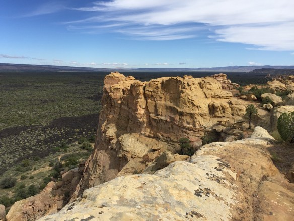

Gorgeous.
Then I backtracked ten miles to see the Indian Pueblo called Sky City. As its name implies, it sits on top of a bluff. The drive up to the pueblo was worth the trip, but the museum was worthless. To see the actual pueblo, I needed to pay a large fee and leave Annie in a strange kennel for a couple hours. I contented myself with viewing the pueblo via a YouTube video.
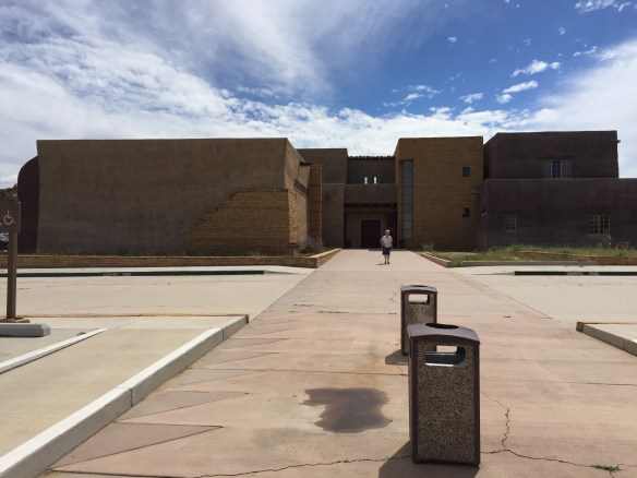

Thank goodness the site is being preserved for history sake. The Sky City Casino helps pay the renovation bills. What counts is what was.
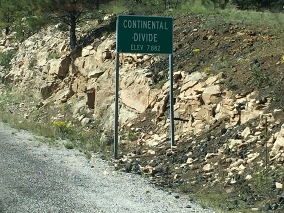
Heading back west again, and only 30 minutes down the road from the east side of El Malpais, and across the Continental Divide,
I reached El Morro National Monument. I loved this place. The rock “headland” creates a gate on the south side of the centuries-old east-west trail.

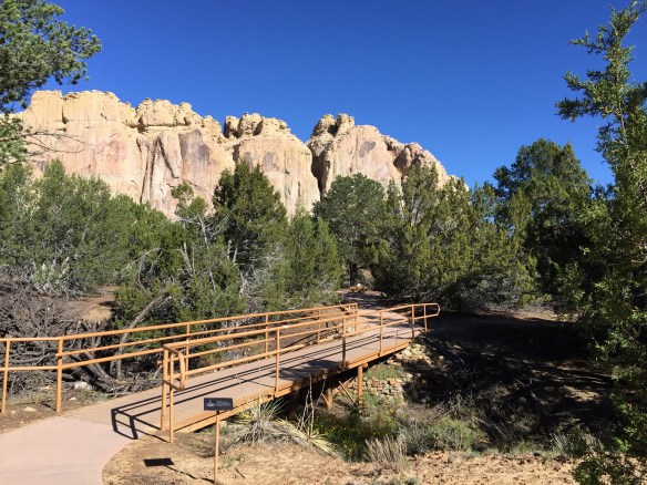
It also serves as a landmark for a water pool that collects at the base of the cliff.
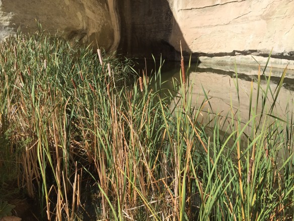
The pool has been the drinking fountain for travelers since forever. It is 150 miles from any other water source. Indians left petroglyphs on the wall of the cliff by the pool. The Spanish explorers signed their names with the message, “passed by here.” So did the pioneers. Dates range from 1607 through the 1800s.


The National Park ranger gave me a guide that explained the history behind each inscription. For example, two pioneer sisters who signed their names continued on through the Mohave, survived a bloody Indian raid, and ended up settling in Fresno, California. One of the Spanish explorers, General Don Diego de Vargas “was here” in 1692.
You’ve got to see this place for yourself.
Moving on, I ate lunch in the Zuni Village. Roasted corn. Yum.

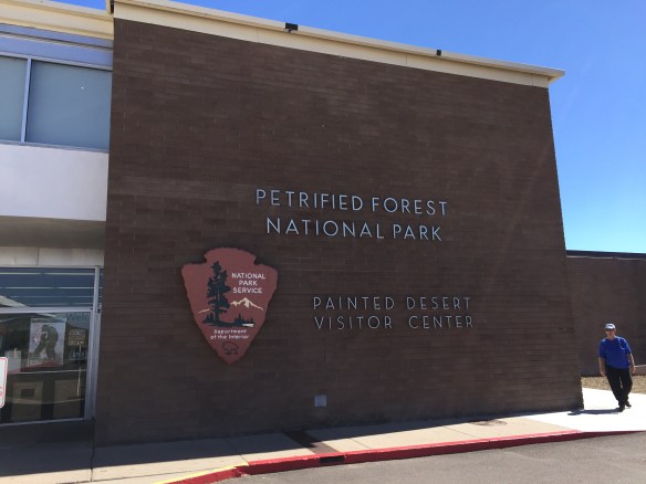
Crossing into Arizona, I spent the afternoon driving the 28 miles north to south through Petrified National Forest.
First the Painted Desert.
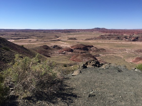

Then the petrified logs. My photos don’t do justice to any of this. The colors and the expansive vistas must be experienced in person.

I’m going to visit more ancient pueblos tomorrow. I’ve been on the road for 40 days. I’m ready to head home.
