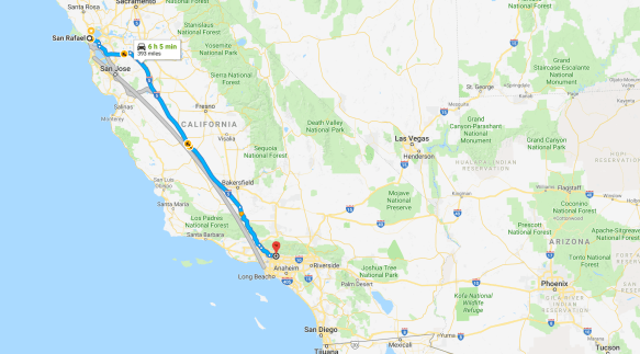

Green dots indicate destinations that are part of the National Parks system. Red dots indicate cities I visited for family reasons.
It’s great to be back to the land of In-n-Out Burger, though I haven’t had one yet. From Pasadena to Pasadena, my Swing Around the USA took 38 days and 37 nights. If you count San Rafael to San Rafael, I will have been away from home 48 days and 47 nights. For the purposes of this blog, here are some statistics from the Pasadena to Pasadena loop:
The number of miles driven: 8733
The number of gallons of gas burned: 475
The cost of 475 gallons of gas: $1421
The cheapest gas was in Texas at 2.39/gallon.
The most expensive gas was in Blythe, California at 3.89/gallon
The average amount spent on campgrounds: $16/night
The number of animals I saw as roadkill: 3 beaver, 1 snake, 1 deer, and 6 armadillos —I got the impression that armadillos move slowly — plus countless opossums, raccoons, and squirrels.
I saw only 1 bear. He/she was alive.
The amount spent on propane: $6.95
The number of cans of iced Arizona Green Tea I drank: 15
The average amount spent on food per day: $16
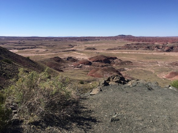
My last set of tours included the ancient American native sites in Arizona. There are a lot of them. I only saw the National Monuments of Wupatki, Walnut Canyon, and Montezuma’s Castle.
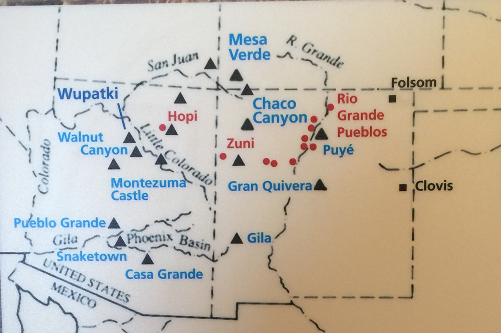
American Indians in the Four Corners region

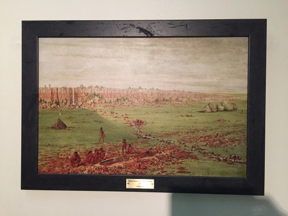
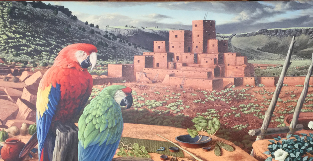
The Wupatki lived north of today’s Flagstaff, elevation 7000 feet, surrounded by volcanos.

Here is a rendering of what archaeologists think the place looked like 900 years ago.
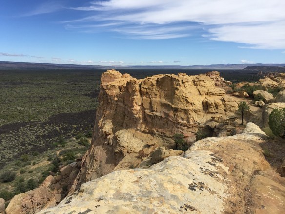
Their civilization was nearly wiped out when the Sunset Crater volcano erupted. The volcano is its own national monument (i.e. another stamp on my National Parks Passport).


The photo above is of some of the hills still covered in cinders.
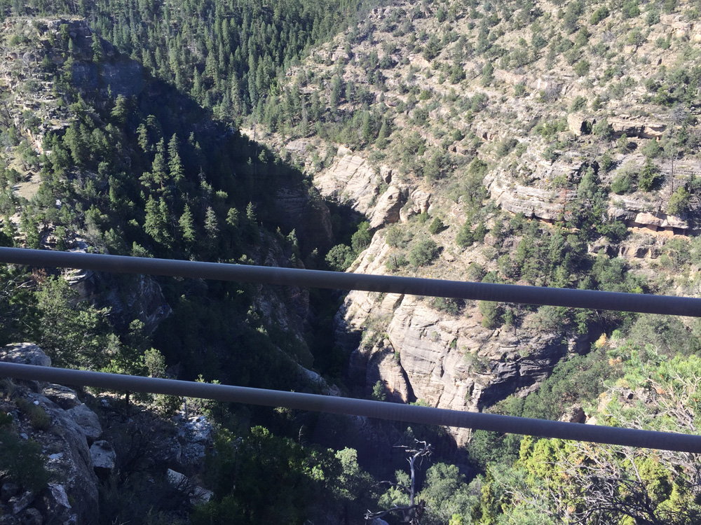
Within the city limits of Flagstaff, I arrived at a narrow, deep gorge called Walnut Canyon, where from as far back as a thousand years ago people lived in caves.


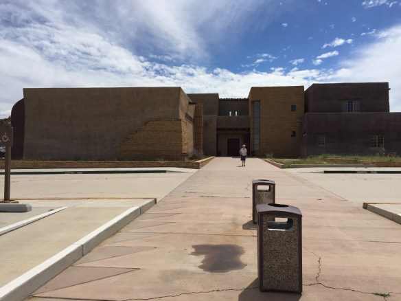
My final stop was Montezuma’s Castle.


I remember seeing it when my parents took my two brothers and me on a road trip to Santa Fe in 1964. My family was allowed to walk around the ancient ruins, which have since been closed off to the public because they were being worn away. The park built a model of a cross section showing what the castle might have looked like.

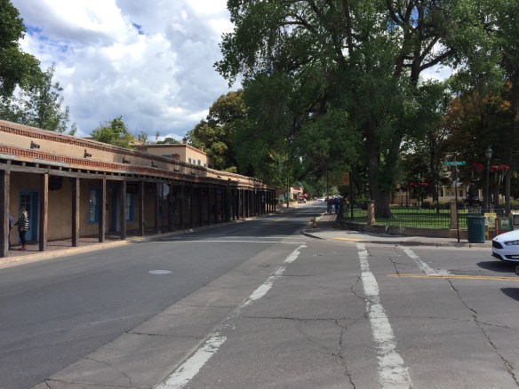
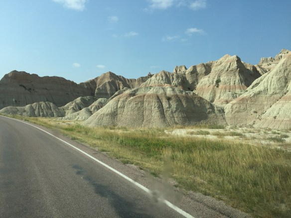
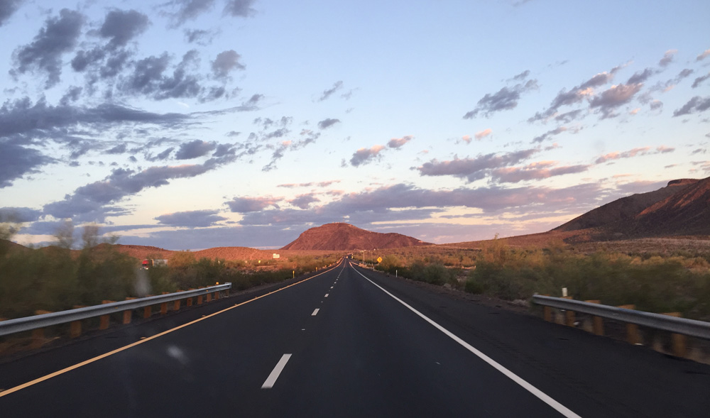
Annie was allowed on the quarter-mile path to see the castle. Fortunately, the path was shaded with sequoia trees. It was 100 degrees out and I had more desert to drive through to get back to Pasadena. When my family drove to Santa Fe back in 1964, we followed Route 66. There are many remains of the old route along today’s Interstate 40. I wanted to spend my last night in Quartzsite, Arizona, which I had heard about. But I couldn’t reach it before dark. Instead, I watched my last desert sunrise from a Rest Stop.

My final drive through the desert the next morning was lovely.
The entomologists at the Smithsonian would envy Ramsey’s bug collection. There are bug splats from 28 states. Now I get the challenge of washing them off.