
Marker No.1 for the Henry Knox Trail stands in the middle of the Parade Ground at the center of Fort Ticonderoga.
I approached the fort from Norwich, Vermont, where I had spent the night with my brother, Tom Ames and his wife Marguerite. Highway 73 took me through the adorable towns of Bethel, Rochester, Brandon, and Orwell, as well as the Green Mountain National Forest, as in the Green Mountain Boys who helped Knox with his expedition.

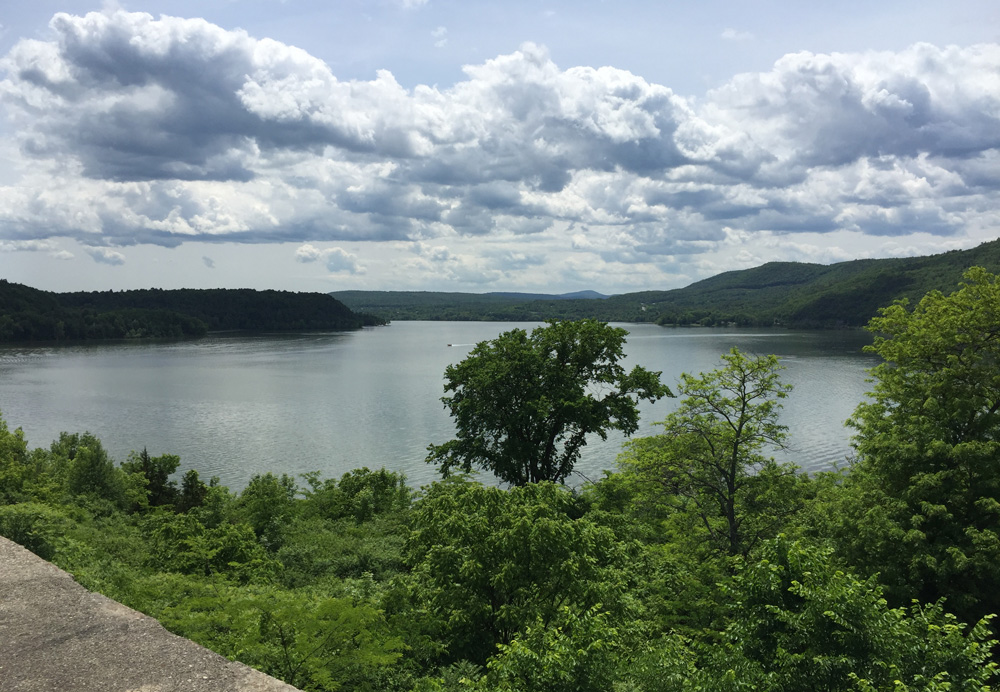
As I came over the ridge, I could see the valley below leading through cow farms to Lake Champlain.

Lake Champlain is 124 miles long and averages only 14 miles wide. Highway 73 meets up with Highway 74 and crosses the lake to the New York side via a ferry, “one of the oldest ferry crossings in North America.”


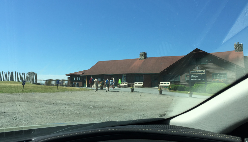
About 800 feet beyond debarking the ferry I found the entrance to Fort Ticonderoga. I would stay for three nights at the nearby Best Western (the only place in town, but quite nice) and come and go from the fort. For this blog, I’ll combine the images into one event.

A friendly staff member greeted me at the gate, “Hi Mary.” without me even introducing myself. Chelse Martin, the manager who organized my book signing, had done her homework. This treatment – Queen for a Day – continued throughout my visit. The gatekeeper gave me the fort’s information brochure and blessed me on my way.
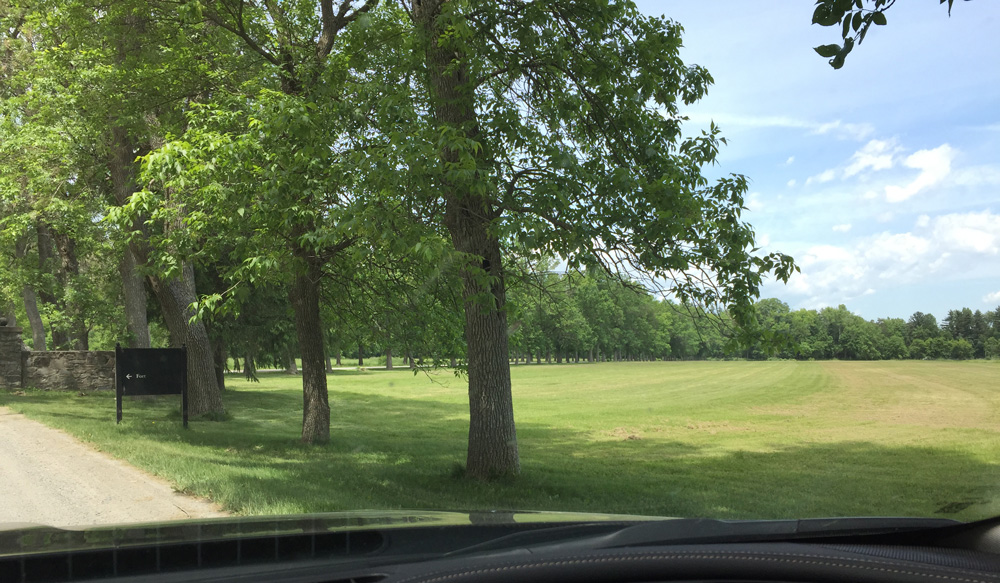
A peaceful tree-lined drive led me to the parking lot and Visitor’s Center.
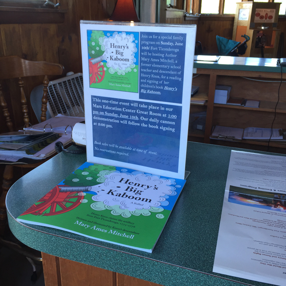
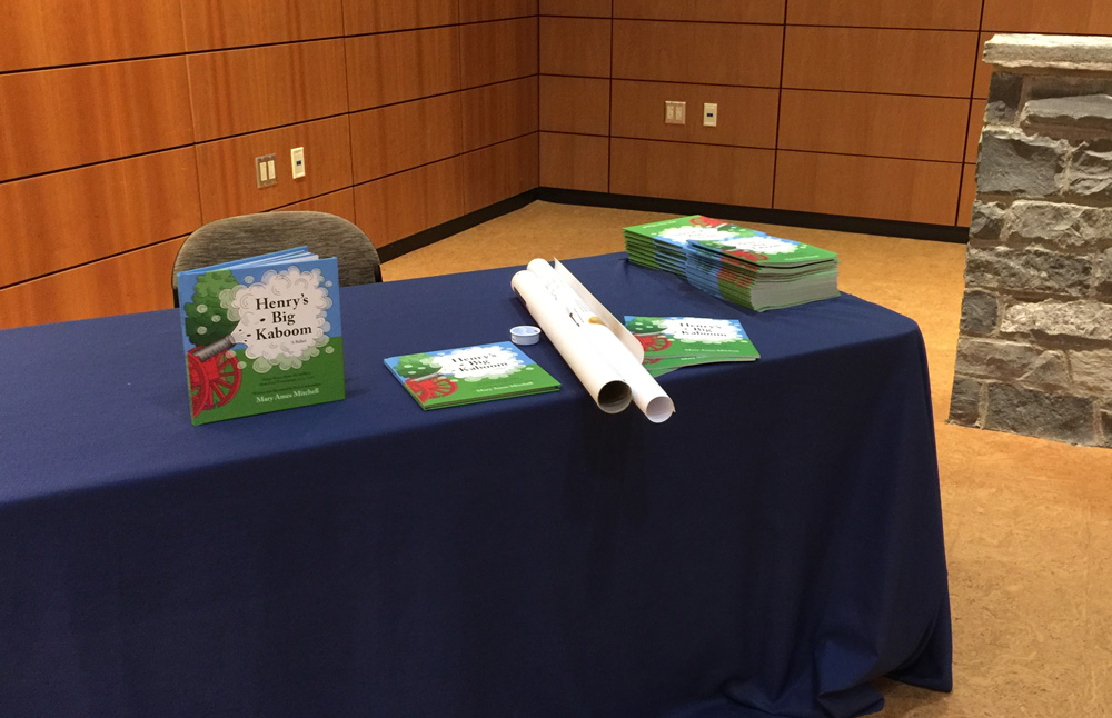
A table display at the entrance to the Visitor’s Center told me I was expected.
My book signing/singing event took place the second day I was at the fort. I spent the first day taking all the tours and looking around. Not until the very end of the day did I drive to the top of Mount Defiance and take this photo. It gives you the lay of the land. You can see how Fort Ticonderoga is on a peninsula that sticks into the middle of Lake Champlain. Lake George, an important waterway leading to the Hudson River, thence to New York City, is behind me as I take the photo. “Ticonderoga” is the Mohawk word for “land between two waters.” When the French built the fort starting in 1755, they called it Fort Carillon. The American’s changed the name when they took it four years later in 1759.

The general “Key to the Continent Tour” starts at the American flag in front of the tunnel that leads into the Parade Ground. “Cannon in their wooden stock” and “mortars squat and fat” line the wall overlooking Lake Champlain.
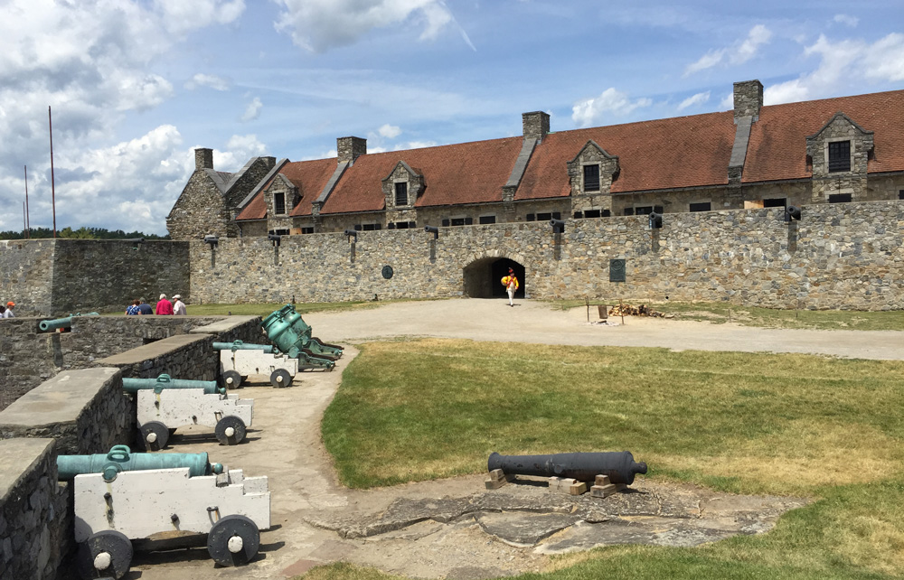

I attended a gun demonstration for which they fired a replica of a 1775 cannon. I toured the displays of artillery in the museum. And I enjoyed the view of Lake Champlain.


I walked the rooms showing where the cobblers worked, the soldiers slept, and where the clothing was made. Dressed to match this season’s theme of 1781, staff members enacted the various activities that went on in the fort. For some seasons, the fort highlights periods when the English held the fort. Sometimes they highlight when the French held the fort. The uniforms change with the theme. This man is one of the uniform tailors.

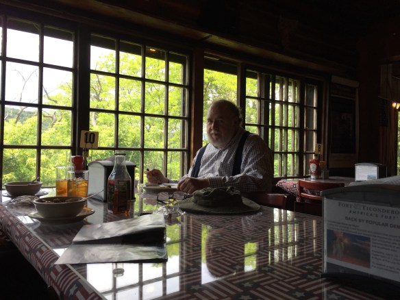
I ate lunch with my second brother, Charlie Ames, and his wife Paula at the fort’s cafe overlooking the lake. Charles and Paula drove from their home on Buffalo to join me.

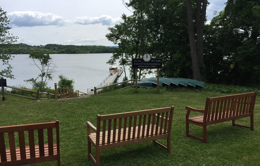
I took the boat tour to get a feel for the geography Henry Knox faced when he transported the guns.


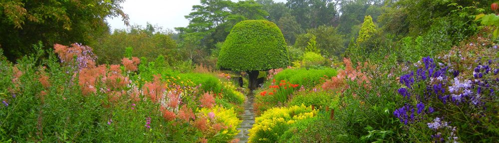
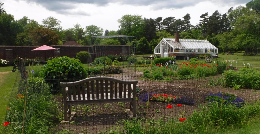
I walked the tour of the Kings Gardens. After the Revolutionary War, the fort fell into decay. In the 1800s, the Pell family purchased it and rebuilt the fort, an early act of historic preservation. The Pell home, known as the Pavillion, and it’s beautiful gardens are just a short walk north of the fort.


By the time of my book signing, I was well versed about Fort Ticonderoga and all the battles of French and Indian War and the Revolutionary War that took place there. I was also reassured that the story about Knox’s expedition, as I told it in my ballad Henry’s Big Kaboom was correct. The audience was small but mighty.
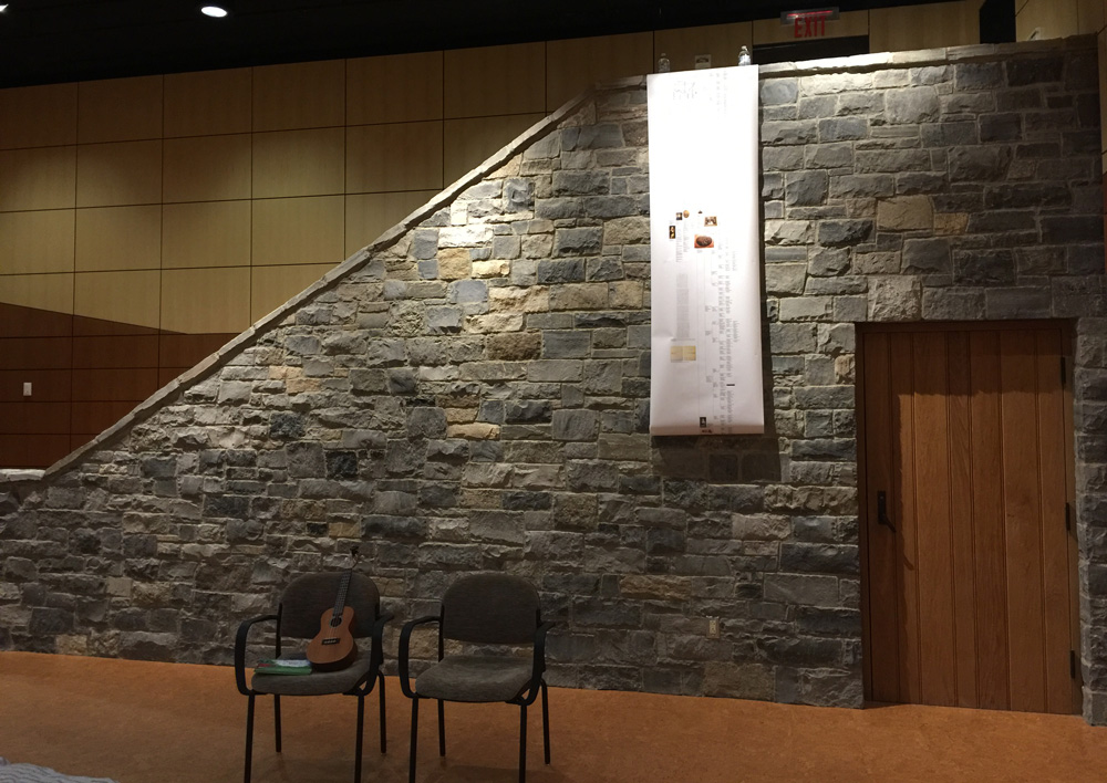
Here I am singing the verse about Henry finding the guns at Fort Ticonderoga. Paula helped turn pages.
Here I am signing the chorus for the final time. My little audience helped.
This is Chelse Martin displaying my book in the fort’s gift shop.

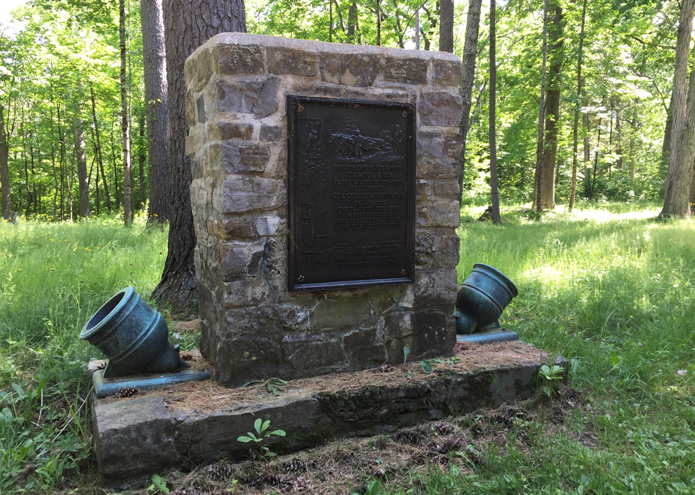
As I exited the fort, I passed and photographed Marker No. 2 of the Henry Knox Trail. It stands along the long driveway through former battlefields where many French, American, British, and German soldiers lost their lives fighting for their homes, independence, and/or their kings.
Added on July 8, 2018
On YouTube, I posted a video that combines this post with the others about Fort Ticonderoga. Check it out:
